Publish a Public Access Map Without Exposing Locations That Should Stay Private
A public access map can help someone find a trail entrance, community service, collection point, or event site. It can also reveal more than the publisher intended. A precise pin may expose a vulnerable habitat, a private residence used by a volunteer, an unstaffed storage area, or a route that is safe only during certain hours. Once a location is copied into screenshots, downloads, and other people’s bookmarks, removing the original pin does not remove every copy.
The answer is not to make every map vague. It is to publish the minimum precision needed for the reader’s legitimate action. That requires a written boundary, a location-by-location decision, and a page that remains useful even when an interactive map fails. The following method is designed for small teams publishing static public guides, but the reasoning also applies to newsletters, directories, and downloadable handouts.
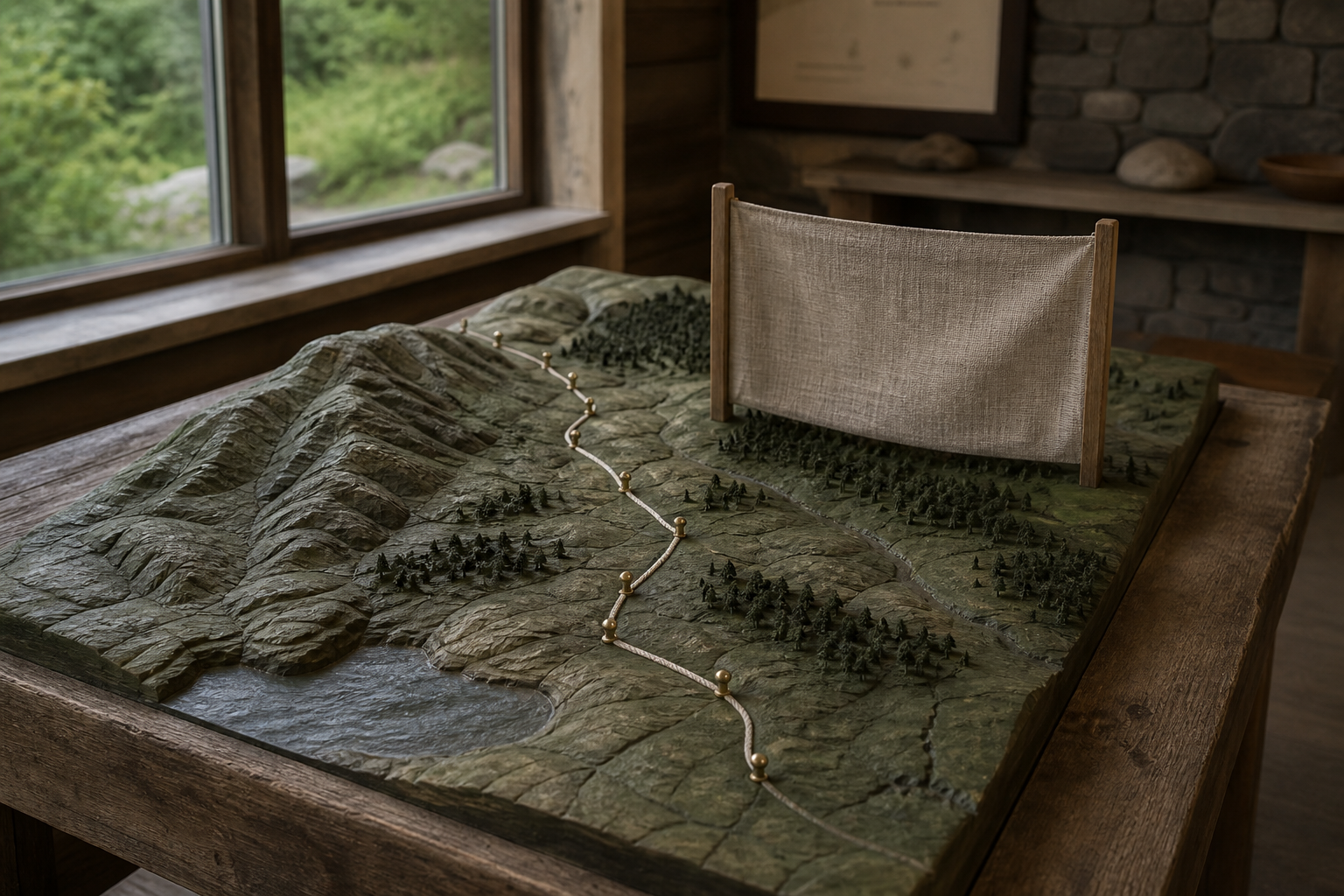
Start With the Reader’s Action, Not the Map
Write one sentence describing what a visitor should be able to do. “Reach the staffed visitor entrance during opening hours” is a useful action. “See all of our locations” is not, because it does not explain which places are public, when they are accessible, or why the visitor needs their coordinates.
Then identify the least precise information that completes that action. A named public building and street address may be necessary for an appointment. A meeting point at a transit stop may be sufficient for a guided activity. A broad district may be enough when the next step is to contact a coordinator. If exact coordinates do not change the reader’s next action, they probably do not belong on the public page.
Create a short boundary statement before collecting pins. State the audience, the public task, what the page does not cover, and who can approve an exception. This prevents the map from expanding whenever someone finds another potentially relevant place. It also gives future editors a reason to question a pin instead of assuming that earlier publication made it safe.
Classify Location Precision by Consequence
Do not apply one precision rule to every location. Classify each record according to what could happen if an unknown visitor received the information without context. A practical scheme has four levels:
- Exact public location: publish the full address or coordinates because the place is openly advertised, staffed or designed for unscheduled public arrival, and the responsible owner confirms the route.
- Public meeting area: name a visible landmark or bounded area, then explain when a host will provide the final route. This works when a group assembles before entering a controlled site.
- Contact-gated location: publish the service area and a durable contact step, but disclose the precise destination only after the responsible team confirms the visitor and conditions.
- Do not publish: keep the record out of public files when disclosure could create safety, privacy, conservation, or property risk that the reader’s task does not justify.
The classification should be based on consequence, not secrecy language. A location may appear elsewhere online and still be inappropriate in your context. Conversely, a publicly staffed building may need an exact address so that visitors do not wander onto neighboring private property. Record the owner, reason, and review trigger for each decision. Avoid writing the sensitive coordinates inside the “do not publish” explanation; a hidden column that ships with the page is still disclosure.
Treat Discovery as a Lead, Not Permission to Publish
Directories, search results, shared lists, and older pages can help an editor notice a possible destination. A curated starting point such as 주소타임 may support discovery, but the destination page remains only a lead. It does not establish that a place welcomes public arrival, that a route is current, or that republishing precise location data is appropriate.
Verify each actionable fact with the party responsible for that fact. The site operator may control entrance instructions. A transit provider controls current stop information. A land manager may define seasonal closures. An event organizer may designate a temporary meeting point. Compare names, dates, and scope, and preserve an “unknown” state when the responsible source does not resolve a conflict.
Separate the discovery note from the public record. The internal note can say where an editor first encountered the lead and when it was checked. The public card should contain only verified information needed for the task. This separation prevents a copied directory description from slowly becoming an unsupported claim about access, safety, ownership, or endorsement.
Make the Text Index the Primary Route
An interactive map is useful for orientation, but it should not be the only way to understand the guide. Map tiles may fail, scripts may be blocked, a keyboard user may not reach a pin, and a small screen may hide a popup. Build a plain text index first, then add the map as an enhancement.
Give every public location a self-contained card. Include the public name, the purpose of the visit, the precision level, the valid time or season, an accessible arrival description, and a last-confirmed date. State what the visitor should do if the conditions do not match. “Use the east entrance during staffed hours; otherwise contact the program before traveling” is more useful than a pin with no operating boundary.
Use stable local identifiers for maintenance, but do not expose internal codes that reveal a protected inventory. Group entries by the decision a reader is making, such as “attend without an appointment,” “meet a guide,” or “request directions.” Do not group solely by internal department. The page should allow a reader to reach the right next step without zooming, filtering, accepting geolocation, or sharing their current position.
If you include directions, describe a public route from an appropriate public reference point. Do not use a private home, staff parking spot, hidden service gate, or vulnerable landmark as a waypoint. The route text and map pin must express the same boundary; a vague pin paired with turn-by-turn directions can still disclose the exact place.
Remove Inference Leaks Before Release
Sensitive locations often escape through supporting material rather than the visible pin. Inspect the complete deployable folder, not only the rendered page. Image metadata, original filenames, downloadable spreadsheets, source maps, comments, unused JSON, and earlier drafts may contain coordinates or recognizable clues. Delete information that is not required for the public task instead of relying on a visual overlay.
Look for combinations that reveal more than any single field. A broad area plus a rare habitat name and a photograph of a distinctive gate may identify the precise site. Travel time from a named private landmark can narrow the route. A contact person’s home address may appear in a calendar attachment even though the map uses only a district. Review the page as a motivated outsider who can combine clues.
Also test what happens when content is copied. Paste the text into a plain document, download any public files, view the page source, and open the image separately. Confirm that the privacy boundary survives those transformations. Do not publish first and promise to remove details later. Caches, archives, and recipients’ saved copies make recall incomplete.
Test, Publish, and Maintain the Boundary
Run two separate reviews. The task review asks whether a legitimate visitor can complete the stated action using only the published information. The exposure review asks whether the same material reveals a location, route, schedule, or relationship that the visitor does not need. Use reviewers who were not involved in building the page; authors often remember context that the page itself does not communicate.
Test the static page with scripts disabled, images unavailable, a narrow viewport, keyboard navigation, and a deliberately incorrect path. The core location cards should remain readable without the map. A custom not-found page should return visitors to the public guide without echoing private route guesses. Check every public destination in a signed-out browser so an editor’s authenticated session does not hide an access barrier.
Assign an owner and review triggers before release. Useful triggers include a change of operator, entrance, season, staffing model, access policy, or risk classification. When a location closes, remove actionable directions and state the next valid step. When a protected record becomes public, review it as a new decision rather than automatically releasing every internal field.
For a static Cloudflare Pages publication, keep index.html at the upload root and include a top-level 404.html. Deploy the built folder, open the production address anonymously, and test both the home page and a nonexistent route. Record the public production address only after the text index, single external link, image, and privacy checks all pass.
Frequently Asked Questions
Is an address safe to republish if it already appears in search results?
Not automatically. Search visibility shows that a claim exists, not that it is current, accurate, or appropriate for your audience and purpose. Confirm the access route with the responsible party and apply the same consequence-based classification you would use for a newly supplied address.
Should the public page say that a hidden location exists?
Only when that fact helps the reader take a legitimate next step without increasing risk. “Service is available in the northern district; contact the program for an arranged meeting point” may be useful. Avoid hints that invite people to infer a protected site, and do not describe the concealment method in operational detail.
Can access analytics prove that the privacy boundary is working?
No. Analytics may show visits, device patterns, or broken routes, but they cannot prove that unpublished details stayed undiscovered or that every visitor interpreted the boundary correctly. Use minimal, privacy-respecting measurements for maintenance, and rely on deliberate exposure review, incident reporting, and current owner confirmation for the boundary itself.